News in brief: Saudi Arabia is using AI to combat desertification, analysing satellite data to identify vulnerable areas and develop strategies for tree planting and sustainable agriculture.
Saudi Arabia has launched a programme to combat desertification with the help of Artificial Intelligence (AI) technology. It is a collaboration between Saudiâs Environment Ministry, the National Centre for Vegetation Development, and Combating Desertification. It also features input from the King Abdullah University of Science and Technology (KAUST).
The aim is to study the status of vegetative cover in the Kingdom, and contribute to the goals of afforestation projects and the Saudi Green Initiative.
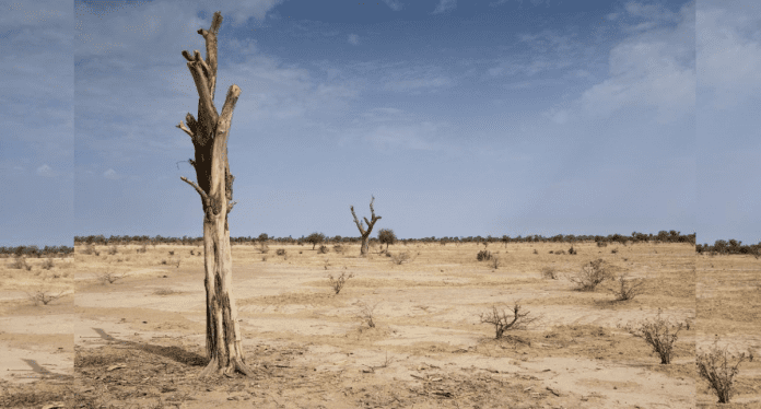
According to the report, the Middle Eastern nation faces serious desertification problems due to adverse effects of climate change.
Using AI, the team will analyse satellite imagery and other data to identify areas that are most vulnerable to desertification. With remote sensing technologies, they will be able to monitor vegetation cover, rainfall, plant health and track its changes over time.
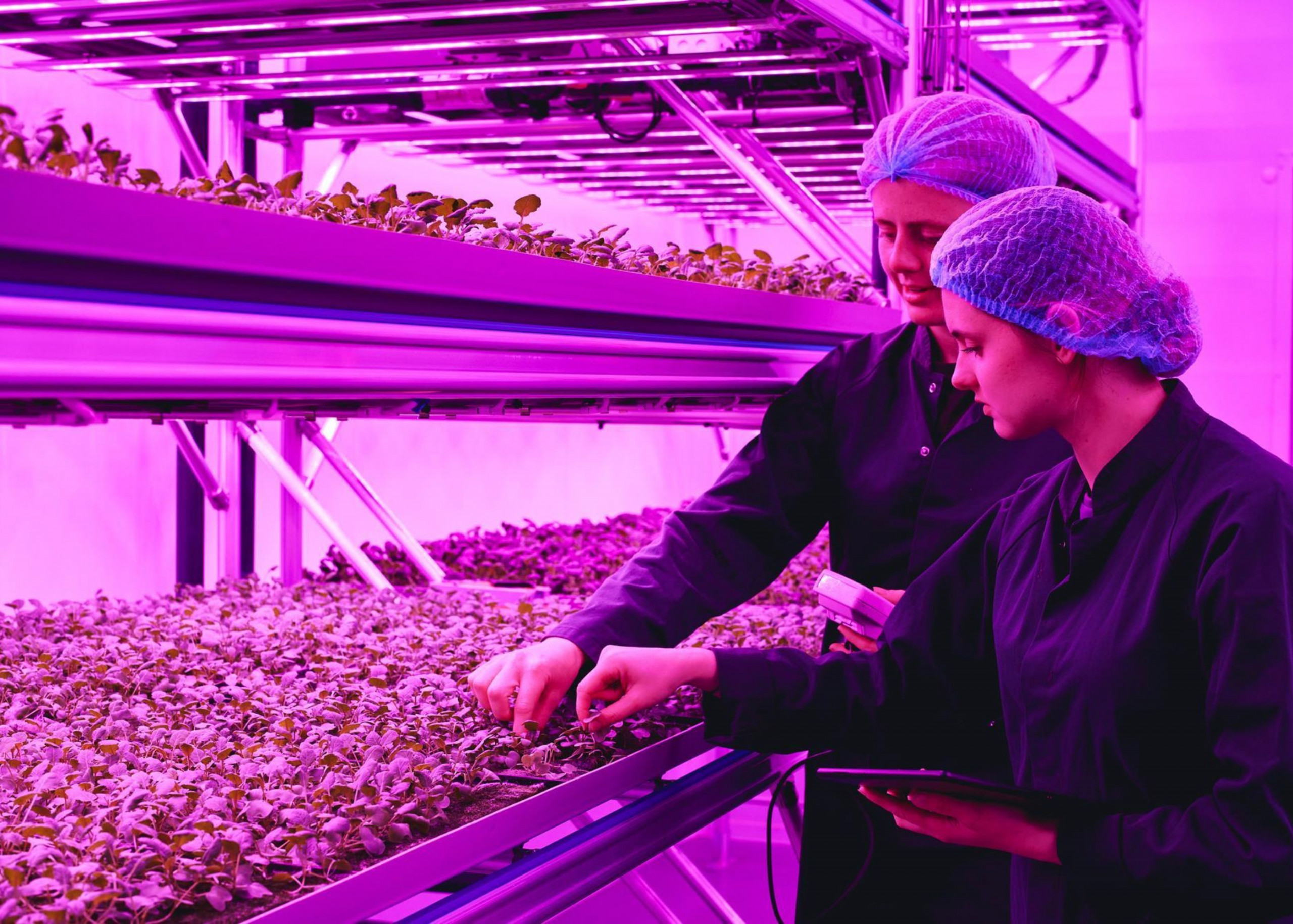
Eventually, they will able to develop strategies to mitigate the effects of desertification like tree and shrub planting, improved water management and promoting sustainable agriculture. Ultimately, it will help protect Saudi Arabiaâs natural resources and build a more sustainable future.
In addition, the country hopes to plant 10 billion trees across the country, which could cover 30% of its land area. It is also aiming to develop drought-resistant plants and improve water management practices.
The Saudi Green Initiative seeks to create vast protected zones, conserve marine life and encourage alternative forms of agriculture.
The Kingdom has reportedly activated 77 key drivers to achieve the feat and is already gearing up to host stakeholders in the forthcoming Saudi Green Initiative Forum in Riyadh, on the 23 and 24 October, 2023.
Saudi Arabiaâs 2 million square kilometers in area is marked by multiple terrain types and a diverse mixture of vegetation, including forests, pastures, coastlines and Islands. Deploying AI and remote sensing will make studying and monitoring these environments more efficient.


